Adventure by bike: route planning in Colorado
Where to?
It’s a question I ask myself almost every weekend when the weather is nice. Where to ride? Where to explore? Where to visit? In a state as beautiful and geographically varied as Colorado, that can be a difficult question to answer. Now that the weather is improving, the itch to go on unique, exploratory rides is very strong. I doubt I’m the only one feeling the call of the open and unknown road, trail, or path.
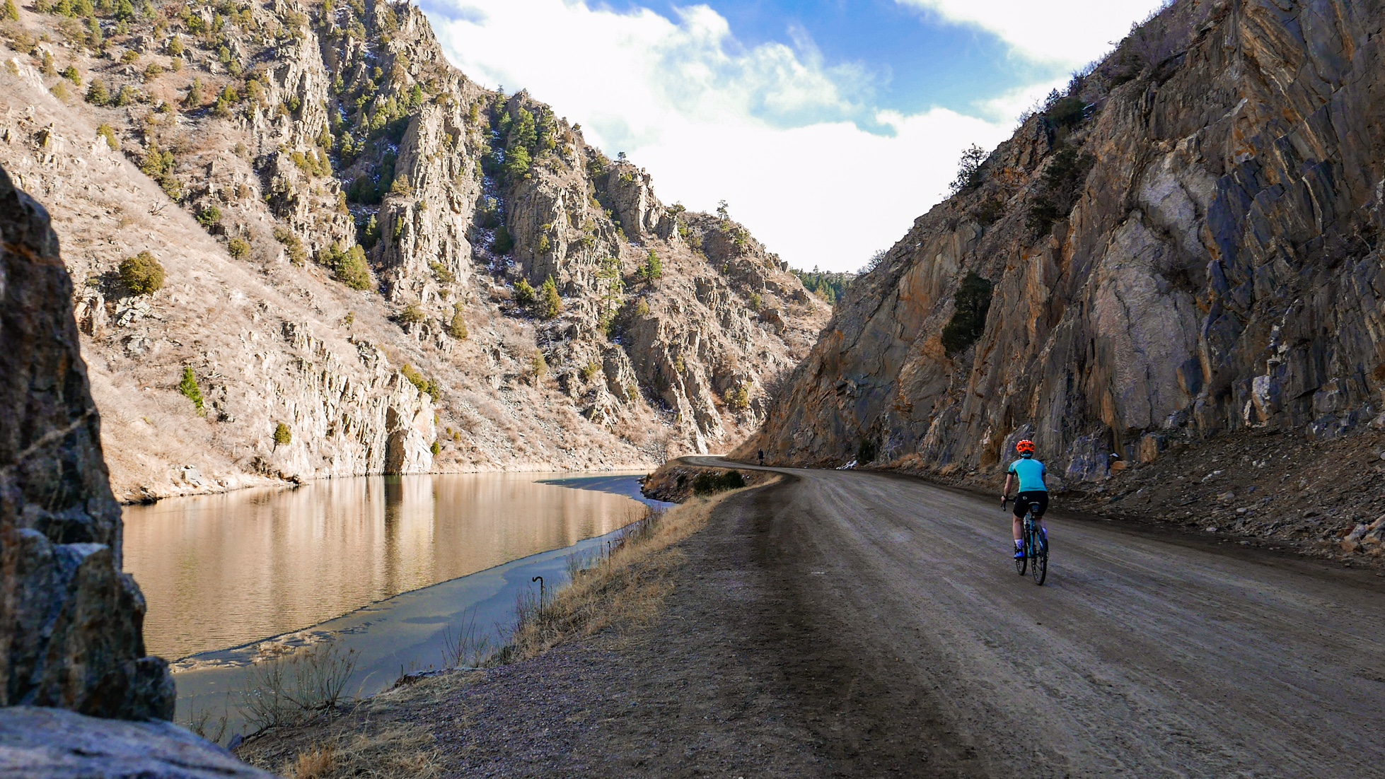
If you are also struggling to answer “Where to?”, check out our extensive listing of Colorado bike maps. You can start by exploring the entire state, or pick a region and dig in deeper. The resource features gems I only recently learned about, like the 42-mile Rio Grande Trail, a paved, off-highway path running between Glenwood Springs and Aspen.
If you’re ready to swap your skis for your mountain bike, MTB Project offers an incredible collection of more than 6,000 trails in Colorado, complete with route information, photos and reviews. (P.S. I hear that Eagle’s trails are officially opening mid-April!)
Just want to take the kids for an easy weekend spin? Find your city and click on its link. We dug up every local resource we could find on in-town bike routes, bike lanes and bike paths. That said, if we’re missing any important maps or websites, send us a link.
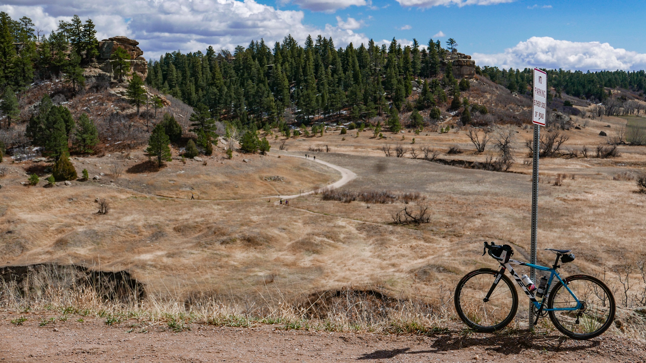
My personal favorite trio of planning tools is Google Earth (to look for interesting geological formations and whether or not a road has a shoulder), MapMyRide (for route distance and elevation information) and Colorado Gravel Roads (for, obviously, non-paved options) — that last resource serving as they key to my enjoyment of the recent “trend” in dirt road riding. Until the idea of “gravel grinding” took off in popularity, it had never occurred to my road cycling self to install wider tires on my drop-bar bike, lower their pressures well below 100psi, and seek out rural unpaved roads.
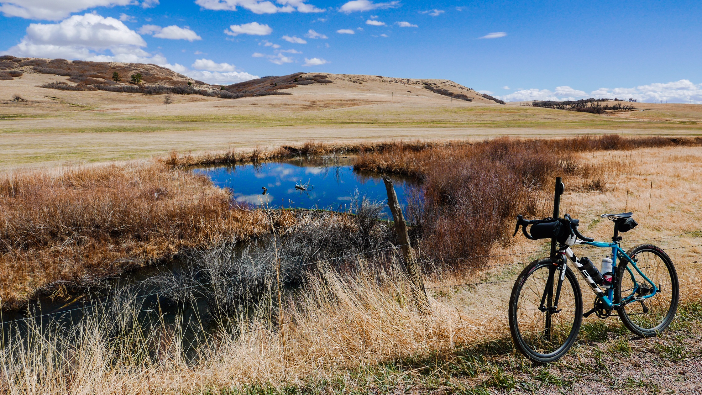
Now, I very rarely embark on a long weekend ride without creating a route that’s at least 50 percent unpaved roads. Doing so adds an element of adventure and exploration that I don’t have to drive more than an hour or two to experience. Adding in dirt roads means I find myself more likely to be riding on low-traffic roads through pine forests, along rivers, near (or through) state parks and experiencing true solitude (unless you count an abundance of farm animals).
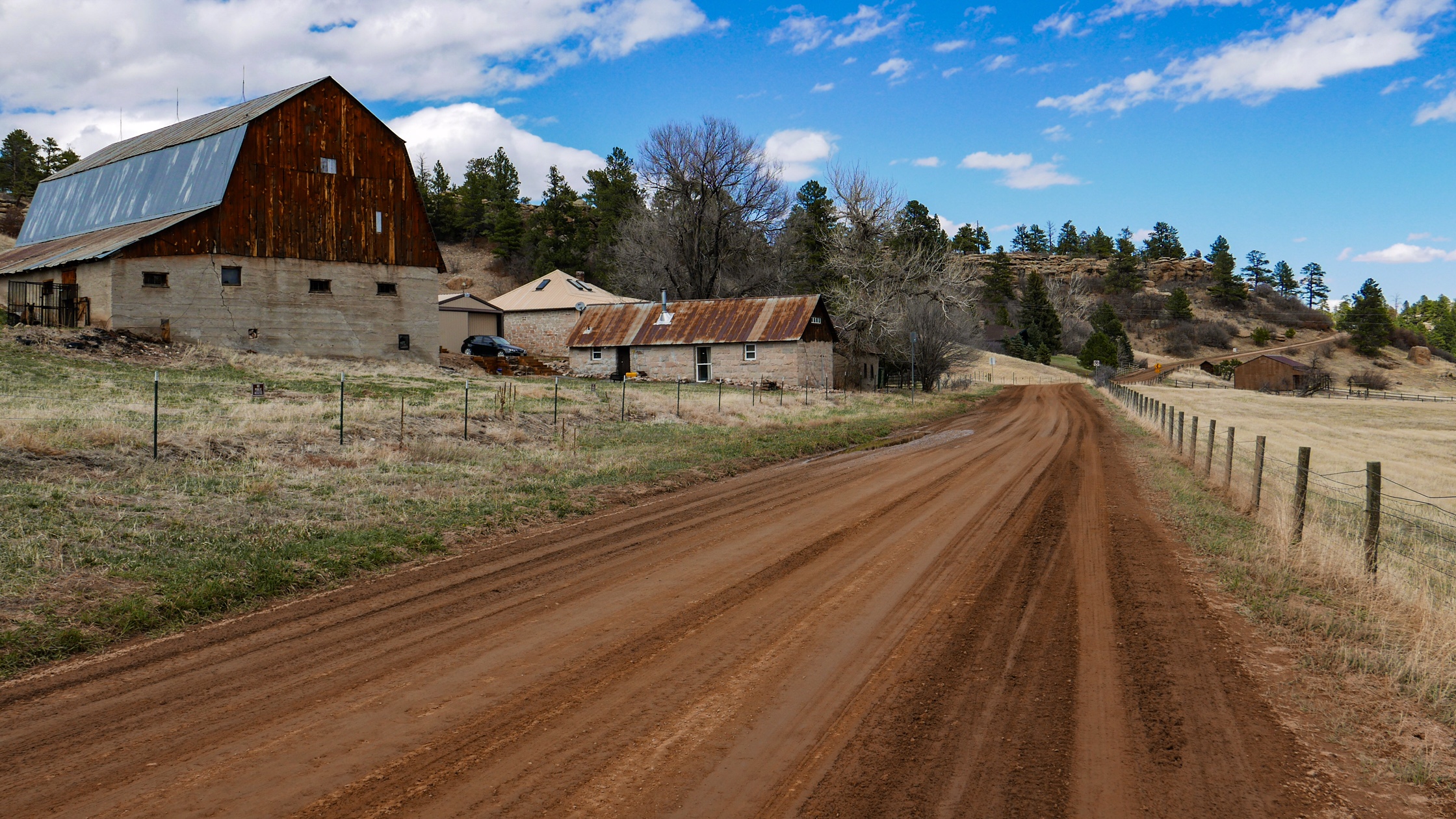
Riding gravel roads also opened up the entire state to my imagination. When people talk of classic Colorado routes, they focus on the mountains. Rightfully so, but eastern and southern Colorado take on a whole, new, delightful light when the purpose of a ride is to lose yourself on rolling, rambling, dirt routes.
Ready to go on your own adventure? Check out our huge list of statewide, regional and local bicycle mapping resources.
Prefer paper maps? We sell some in our store!
Leave A COMMENT
Our twitter feed is unavailable right now.
The Latest News
view all- Jul 1, 2025
- by Bicycle Colorado
In Their Words: Siblings Log Thousands of Miles by Biking to School
Guest Blog Post: By The Williams Family It sounds like a scene from a bygone era: a brother and sister set off on bicycles to school each and every morning, sometimes stopping at the public library or the ice cream parlor on the way home after school. For Denver residents Luella and…
- Bicycle Commuting,
- Kids on Bikes,
- Safe Routes,
- Transportation Talk
- No Comments


COMMENTS (4)
Brent Myers -
Katherine. You are out of the loop. Sorry but it shows by not mentioning ride with gps or strata. I can travel the world and look for popular local rides. Keep up the good work
Katherine Fuller -
You mean Strava? Sure, I have an account. I also ride with a GPS watch. But even though I’m one of those darn Millennials, I actually prefer to ride with as little technology as possible. I wanted to highlight the excellent, state- and city-specific resources offered by our friends and partners right here in beautiful Colorado that anyone can use for daydreaming about and planning rides — including ones that wouldn’t show up on Strava, like picking a great place to ride with little kids. Cheers!
Rupert -
Nice work, great article. Very inspiring.
Greg -
Excellent reply to a pretty ignorant remark.